ILLUSTRATIONS AND PHOTOGRAPHS  1. The Miner's Sunday
2. A Sunday's Amusements 3. A Daily Pleasure 4. Occupation for Rainy Days 5. The Mountain Expressman 6. Residence and Farm of A. P. Chapman 7. "The Expressman Has Arrived" 8. Lodgings About 1855 9. Residence and Ranch of H. H. Kennedy, Goodyear's Bar, Sierra County, California 10. Hidden Treasure Mine, Sunny South, Placer County, California 11. Forty-Stamp Gold Mill 12. Cross-Section Forty-Stamp Gold Mill 13. Batea For Gold Mill 14. Battery Frame 15. Schematic View, Malakoff Diggings, Ca. 1880 16. English (Rudyard) Dam 17. Omega Mine, Washington Ridge 18. Truckee Hotel 19. Bear Valley Mill, Towle Brothers, Dutch Flat 20. Kearsarge Mill, Towle Brothers, Dutch Flat 21. M. L. Marsh Ox-Teams and Barns 22. M. L. Marsh Sawmill 23. Gold Lake Ranger Station, Ca. 1922 24. Sierra Valley Ranger Station, 1915 25. Logging Engine 26. Steam Donkey 27. Steam Donkey Yarding, Ca. 1900 28. Railroad Logging Engine, Cars; Loader in Background 29. Auburn Ski Club C.C.C. Camp 30. Sattley C.C.C. Camp 31. Temporary Logging Structure 32. Fir Camp, Forest Hill; 1924. Fire Fighter's Payday MAPS 1. Tahoe National Forest 2. Ancient and Modern River System 3. Main Routes to the Gold Fields 4. Yuba Basin Mining Water Supply, 1850-53 5. Location of Gold Districts 6. Geologic Map of Sierra City and Johnsville Districts, Plumas Counties 7. Meadow Lake Mining District 8. North Bloomfield Area, Ca. 1875 9. Yuba Basin Hydraulic Mining Ditch System 1854-1884 10. Routes Across the Tahoe National Forest 11. Stagecoach Routes, 1902 12. Truckee Basin Logging Railroads (1868-1930) 13. Geologic Map of Alleghany District, Sierra County 14. P.G.& E. Facilities in the Yuba Basin, 1911 15. Tahoe National Forest - Cattle - 1915 16. Tahoe National Forest - Sheep - 1915 17. Tahoe National Forest - Grazing, 1939 Nevada County GenWeb Biography of Martin Luther Marsh Marsh Mill is a historical town worth more than the asking price of $ 999,999. Includes a spring fed lake and 167 acres of rolling forested terrain. A plateau if you consider the hills surrounding the town.  Martin Luther Marsh and his brother Daniel photocopied from the 1895 Pictorial History of Nevada County. The Marsh brothers were very prominent lumbermen in Nevada County. They partnered with A.B. Gregory in the 1860's to run the Old Pioneer Sawmill. It had been founded in the 1850’s on Little Deer Creek and encompassed the land now bounded by Nimrod, Nile and Clay Streets.  The above map is a detail from the 1871 Birdseye View of Nevada City which appears below.  Early newspapers mention a steam saw mill on Little Deer Creek owned by a “Russell and Hirst” in 1854 and owned by “Marsh, Palmer and Perry” in 1861. The sawmill and lumber operation of M.L. Marsh and A.B. Gregory on Nimrod Street in 1859 is shown on page 107 in the 1895 Pictorial History of Nevada County. (Marsh later removed his sawmill to another location on Boulder Street.) The 1864 Nevada County Assessor's roll shows the property as the Old Pioneer Sawmill of “A.B. Gregory.” Early tax assessments show stockpiles of lumber and 'working’ cattle on the property. Martin Luther Marsh and his large family resided in the historic Marsh-Christie house on Boulder Street. He died 14 December 1911. His brother Daniel died 26 July 1921.  Judah had ignored the Truckee Route early on, leaning more toward a southern route near Tahoe, etc. I gather that his Doctor pal in Dutch Flat had much to do with the decision being made in favor of the Truckee Route, but then today I find something else! ... Caleb Greenwood, the scout for the Stevens Party in 1844, found a way to bypass the upper Truckee Canyon in 1845. Known as the Dog Valley Section of the Truckee River Route of The California Emigrant Trail. From 1845 on it became THE route, basically a horseshoe detour from what is now Verdi, Nevada, to what is now Donner Lake, California. The Dog Valley Road would be nothing more than a part of the TRR until about 1852. The northern mines of California, specifically the Yuba River country, and particularly the North and Middle Forks, were worked at early as June of 1848. Roads from Marysville and Sacramento had been established to the settlements of Camptonville, North San Juan, and Nevada (City), by 1849. Pack trails of course connected these settlements to the diggings on the North and Middle Forks of the Yuba. By 1852, the trails from Camptonville and North San Juan had been developed into passable wagon roads. They would meet and become one roughly three miles east of Forest (City). It would continue as one road through to what is now Verdi, Nevada. Jackson and Henness had built a road to their ranch, and Dr. Webber had built a road to his lake and hotel, so connecting the roads was an obvious thing to do. Emigrants traveling over the TRR by 1852, would branch off the TRR near what is now Stampede Valley (Dog Valley Road), and instead of heading south and west to Donner, would head west and a little north. I have numerous diary excerpts to verify this. Diaries note that most went emigrants to Downieville, and a couple note that some companies went "south and west from Jackson's Ranch to Nevada City". (Not to be confused the Nevada City section of the Truckee River Route). ... That little jag to Nevada (City) is vital to the Judah connection. In 1859, after gold was discovered in the Comstock, two different companies were formed to push freight and people to and from Virginia City, Nevada. The first was the "Truckee Turnpike Company". Organized in Marysville, the road actually began in North San Juan, as connecting roads from there and Camptonville already existed. The TTC was actually two roads, the NSJ road and the Camptonville Road. Current "topo" maps show the Camptonville route as the Henness Pass Road, but in truth the NSJ road was more heavily used. In reality, they are "bifurcations" as they joined as one just east of Forest (City). The second company started in Nevada (City), and was known as the "Heness Pass Turnpike Company". The two roads of the TTC that became one after Forest (City), and the HPTC, all became one at Jackson Meadows, now the site of the Jackson Reservoir. From that point on, the road was known as "The Henness Pass Road", and the companies involved worked as one, under the name HPTC, through to Virginia City, Nevada. Of interest to you initially would be the site of "Marsh Mill". This site sits directly on the HPTC route between Graniteville, (Eureka), and the site of Bowman House. Marsh Mill was of course owned and operated by Charles Marsh! In 1864, yet another road connected into the Henness Pass Road system. Known officially as the Pacific Turnpike, it was also known as "Culbertson's Road". This road ran from Dutch Flat east to Bear Valley, then due north to Bowman House, where it connected to the HPTC road to Jackson Meadows, etc. From a business viewpoint, let us look at Charles Marsh. His place sat roughly four miles west of Bowman House, directly on the HPTC road. The Pacific Turnpike intersected the HPTC Road at Bowman House. The Pacific Turnpike, A/K/A Culbertson's Road, was "owned" by yet another company, "The Nevada City Turnpike Company". The NCTC was basically the route of California #20, a heavily-used emigrant road in the 1850's. Both road connected at Bear Valley. This is complicated, so please bear with me. The Dutch Flat Tahoe Wagon Road, also started at Dutch Flat. Is that a coincidence? ...On the surface it appears that Judah and political as well as business allies were attempting to control wagon routes long before the existence of rail! My point to all of this is that I have found newspaper accounts from the 1850's and 1860's of Marsh and Judah on the Henness Pass Road. It was a prime candidate, per the accounts, for rail. Marsh's interest should be obvious. Considering where rail was laid, and further considering the position of Charles Marsh in the grand scheme, what happened? I will send you the accounts of what I have if you are not aware of them. ... I was recruited to act as a scout, guide and mule skinner/teamster for the official California 150th celebration. The Missouri crew was short-handed when they reached Fernley, Nevada, and as I know the old wagon roads, I was drafted on the spot. Two weeks later, we arrived in Sacramento. We had four wagons, all Conestoga's almost thirty feet each in length. The wagons were built by Morris Carter using Smithsonian plans, right down to the brakes; being nothing more than a rope across the box to hook a bootheel into, etc. The mules did not like the few times we hit pavement, once in Reno and once near Truckee. In Truckee, some motorist honked a number of times, and the mules of course "went south". The result was two runaway teams, one of course was mine! We all survived the mishap, two-leggers and four-leggers alike, but we had to layover below Donner Summit to do some wagon repair, shrink wheels, replace a broken tongue, etc. I had been thrown from the wagon during the mishap and had more than a few bruises." ILLUSTRATIONS AND PHOTOGRAPHS  The Southern 70 acres version of El Capitan. Massive rock formation, hidden granite cliff on the left side covered by the trees       Marsh Mill Road  Along Marsh Mill Road   Entrance to R/W Middleton Rd  Entire ghost town of Marsh Mill http://  When the warm sun, that brings Seed-time and harvest, has returned again, 'T is sweet to visit the still wood, where springs The first flower of the plain. I love the season well, When forest glades are teeming with bright forms, Nor dark and many-folded clouds foretell The coming-on of storms. From the earth's loosened mould The sapling draws its sustenance, and thrives; Though stricken to the heart with winter's cold, The drooping tree revives. The softly-warbled song Comes from the pleasant woods, and colored wings Glance quick in the bright sun, that moves along The forest openings.  When the bright sunset fills The silver woods with light, the green slope throws Its shadows in the hollows of the hills, And wide the upland glows. And when the eve is born, In the blue lake the sky, o'er-reaching far, Is hollowed out and the moon dips her horn, And twinkles many a star. Inverted in the tide Stand the gray rocks, and trembling shadows throw, And the fair trees look over, side by side, And see themselves below. Sweet April! many a thought Is wedded unto thee, as hearts are wed; Nor shall they fail, till, to its autumn brought, Life's golden fruit is shed.    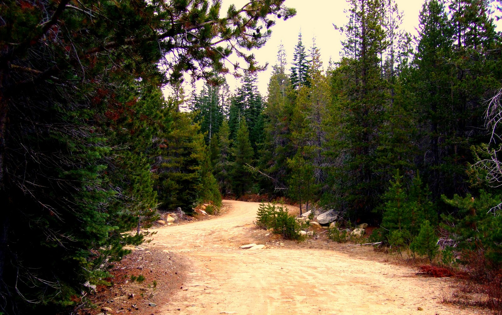 Whose woods these are I think I know. His house is in the village, though; He will not see me stopping here To watch his woods fill up with snow. My little horse must think it queer To stop without a farmhouse near Between the woods and frozen lake The darkest evening of the year. He gives his harness bells a shake To ask if there is some mistake. The only other sounds the sweep Of easy wind and downy flake. The woods are lovely, dark, and deep, But I have promises to keep, And miles to go before I sleep, And miles to go before I sleep 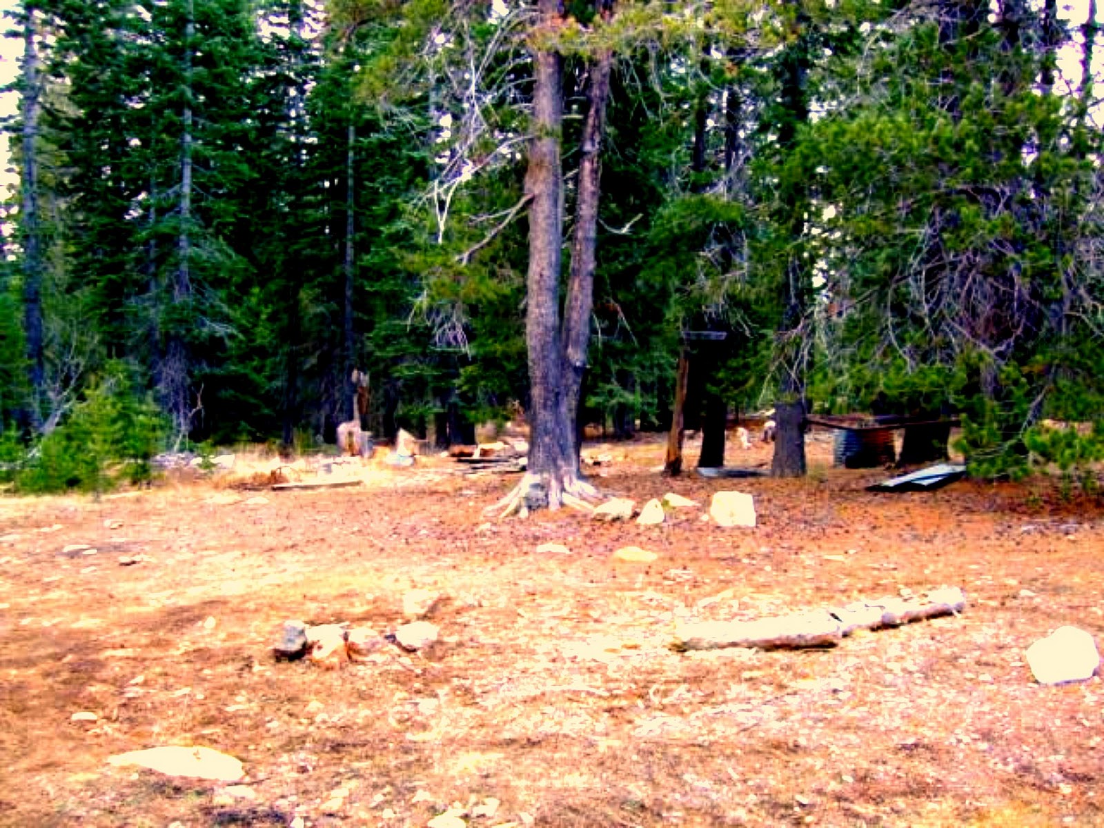    PROPERTY IN FRANCE FOR SALE BY OWNER .gif) 
|




Could America Beat China and Russia in a Two-Front War?
Here's What You Need to Know: The United States can still fight and win two major wars at the same time, or at least come near enough to winning that neither Russia nor China would see much hope in the gamble. The United States can do this because it continues to maintain the world’s most formidable military, and because it stands at the head of an extremely powerful military alliance.
The United States discarded its oft-misunderstood “two war” doctrine, intended as a template for providing the means to fight two regional wars simultaneously, late last decade. Designed to deter North Korea from launching a war while the United States was involved in fighting against Iran or Iraq (or vice versa,) the idea helped give form to the Department of Defense’s procurement, logistical and basing strategies in the post–Cold War, when the United States no longer needed to face down the Soviet threat. The United States backed away from the doctrine because of changes in the international system, including the rising power of China and the proliferation of highly effective terrorist networks.
But what if the United States had to fight two wars today, and not against states like North Korea and Iran? What if China and Russia sufficiently coordinated with one another to engage in simultaneous hostilities in the Pacific and in Europe?
Political Coordination
Could Beijing and Moscow coordinate a pair of crises that would drive two separate U.S. military responses? Maybe, but probably not. Each country has its own goals, and works on its own timeline. More likely, one of the two would opportunistically take advantage of an existing crisis to further its regional claims. For example, Moscow might well decide to push the Baltic States if the United States became involved in a major skirmish in the South China Sea.
In any case, the war would start on the initiative of either Moscow or Beijing. The United States enjoys the benefits of the status quo in both areas, and generally (at least where great powers are concerned) prefers to use diplomatic and economic means to pursue its political ends. While the U.S. might create the conditions for war, Russia or China would pull the trigger.
Flexibility:
On the upside, only some of the requirements for fighting in Europe and the Pacific overlap. As was the case in World War II, the U.S. Army would bear the brunt of defending Europe, while the Navy would concentrate on the Pacific. The U.S. Air Force (USAF) would play a supporting role in both theaters.
Russia lacks the ability to fight NATO in the North Atlantic, and probably has no political interest in trying. This means that while the United States and its NATO allies can allocate some resources to threatening Russia’s maritime space (and providing insurance against a Russian naval sortie,) the U.S. Navy (USN) can concentrate its forces in the Pacific. Depending on the length of the conflict and the degree of warning provided, the United States could transport considerable U.S. Army assets to Europe to assist with any serious fighting.
The bulk of American carriers, submarines and surface vessels would concentrate in the Pacific and the Indian Oceans, fighting directly against China’s A2/AD system and sitting astride China’s maritime transit lanes. Long range aviation, including stealth bombers and similar assets, would operate in both theaters as needed.
The U.S. military would be under strong pressure to deliver decisive victory in at least one theater as quickly as possible. This might push the United States to lean heavily in one direction with air, space and cyber assets, hoping to achieve a strategic and political victory that would allow the remainder of its weight to shift to the other theater. Given the strength of U.S. allies in Europe, the United States might initially focus on the conflict in the Pacific.
Alliance Structure:
U.S. alliance structure in the Pacific differs dramatically from that of Europe. Notwithstanding concern over the commitment of specific U.S. allies in Europe, the United States has no reason to fight Russia apart from maintaining the integrity of the NATO alliance. If the United States fights, then Germany, France, Poland and the United Kingdom will follow. In most conventional scenarios, even the European allies alone would give NATO a tremendous medium term advantage over the Russians; Russia might take parts of the Baltics, but it would suffer heavily under NATO airpower, and likely couldn’t hold stolen territory for long. In this context, the USN and USAF would largely play support and coordinative roles, giving the NATO allies the advantage they needed to soundly defeat the Russians. The U.S. nuclear force would provide insurance against a Russian decision to employ tactical or strategic nuclear weapons.
The United States faces more difficult problems in the Pacific. Japan or India might have an interest in the South China Sea, but this hardly guarantees their participation in a war (or even the degree of benevolence of their neutrality.) The alliance structure of any given conflict would depend on the particulars of that conflict; any of the Philippines, Vietnam, South Korea, Japan or Taiwan could become China’s primary target. The rest, U.S. pressure aside, might well prefer to sit on the sidelines. This would put extra pressure on the United States to establish dominance in the Western Pacific with its own assets.
Parting Shots:
The United States can still fight and win two major wars at the same time, or at least come near enough to winning that neither Russia nor China would see much hope in the gamble. The United States can do this because it continues to maintain the world’s most formidable military, and because it stands at the head of an extremely powerful military alliance. Moreover, Russia and China conveniently pose very different military problems, allowing the United States to allocate some of its assets to one, and the rest to the other.
However, it bears emphasis that this situation will not last forever. The United States cannot maintain this level of dominance indefinitely, and in the long-term will have to choose its commitments carefully. At the same time, the United States has created an international order that benefits many of the most powerful and prosperous countries in the world; it can count on their support, for a while.